
Four Mile Run: The Little Creek That Taught Arlington About Water
It flooded the county for decades, inspired one of the region's first great flood-control projects, and now runs as a park. November's rains walk a tamed — but not conquered — stream.
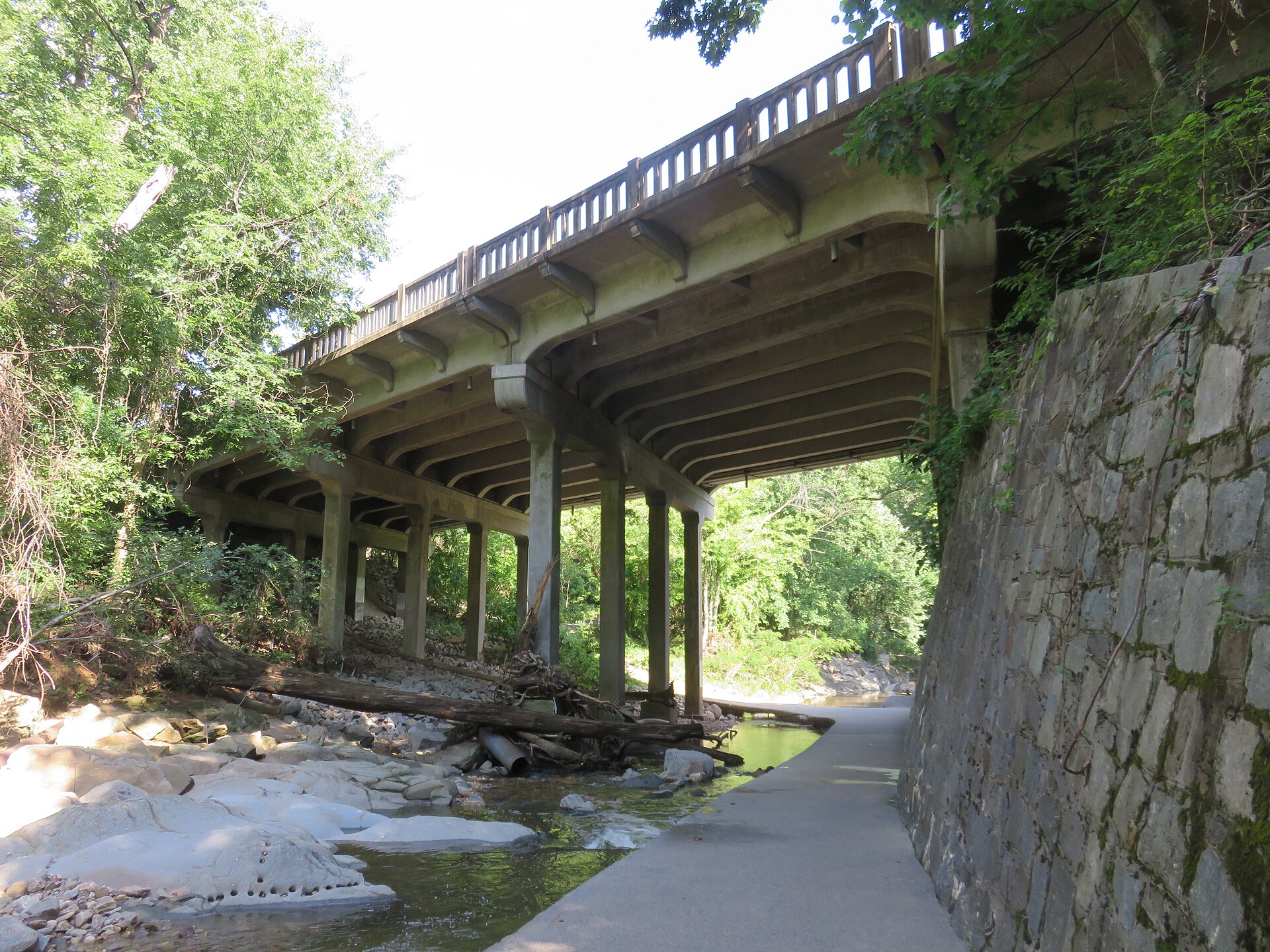
Four Mile Run is easy to underestimate: a modest stream in a wooded valley along Arlington's southern border with Alexandria, pretty under its trail bridges. Arlingtonians of a certain age remember it differently — as the creek that put neighborhoods underwater, repeatedly, until the region decided to fight it as one.
The floods of the 1960s and early 70s, capped by Tropical Storm Agnes in 1972, produced a joint Arlington–Alexandria response with the U.S. Army Corps of Engineers: a deepened, engineered channel through the lower run, levees and floodwalls near the Potomac, and — in the decades since — a long ecological repair job, restoring streambanks, wetlands and habitat in the upper reaches and in parks like Bon Air and Bluemont along its course.
The run is now the seam of some of the county's best parkland, followed by the Four Mile Run Trail and crossed by the W&OD, and its lower end at the Potomac is a case study in how engineered and natural systems can share one valley. It is also, deliberately, a floodplain that works: the parks are meant to take water so the streets behind them do not.
November is a fair month to walk it with respect. Fall storms are rarely its worst, but the run still rises fast on saturated ground, and the county's rule is absolute: trails flood, crossings close, and no shortcut is worth the current in a channel built to move water quickly. The creek taught Arlington its lesson once. The parks are how the county remembers it.